Trail profil Großglockner Berglauf
Facts 2023
Date: Juli 10th, 2022
Elevation gain: 1.265 m
Distance: 13,367 km
The legendary trail
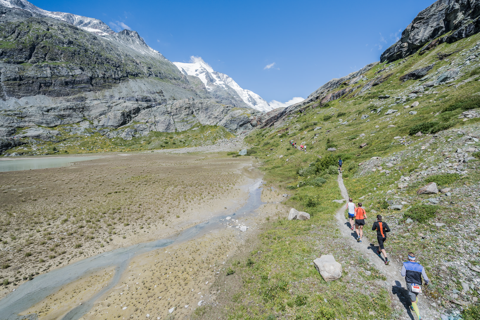
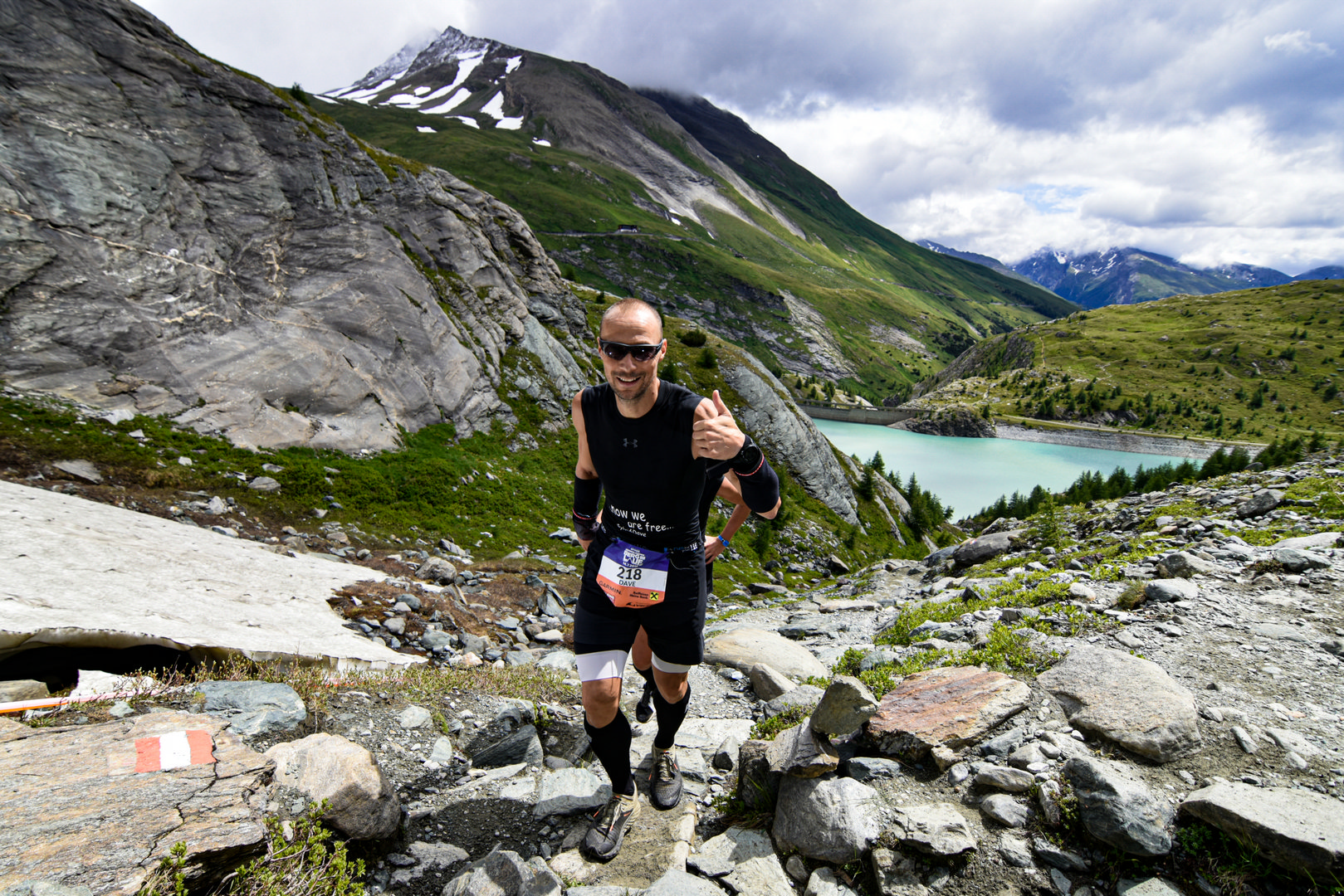
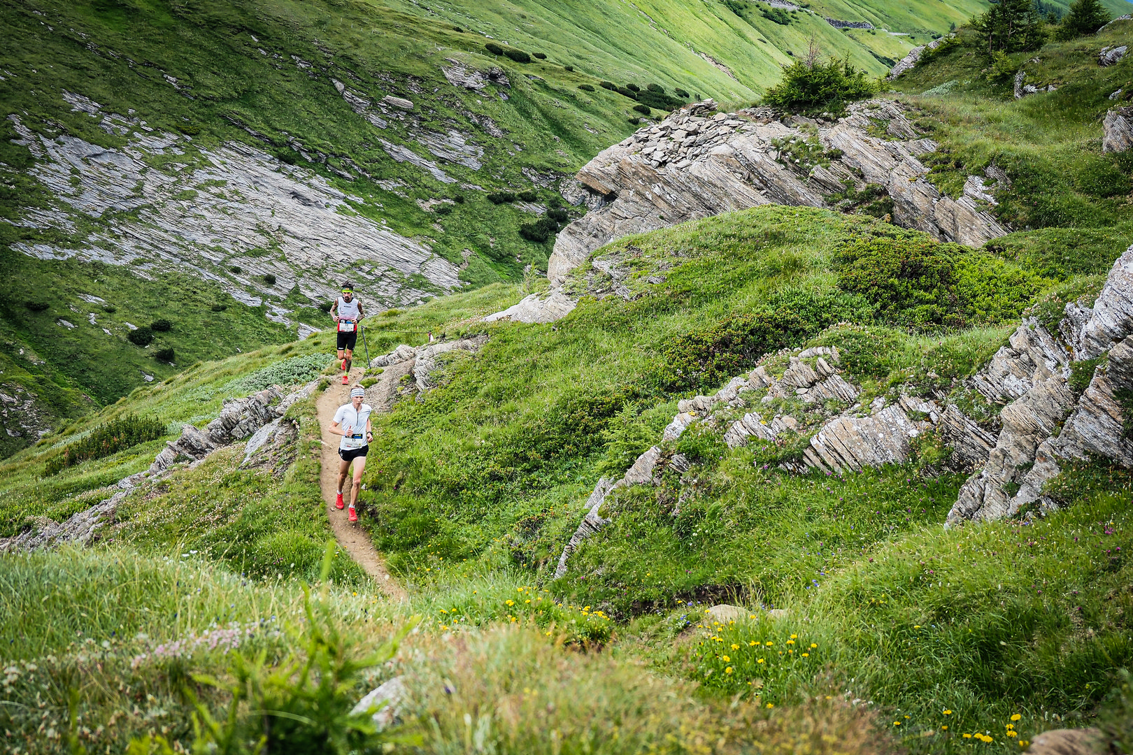
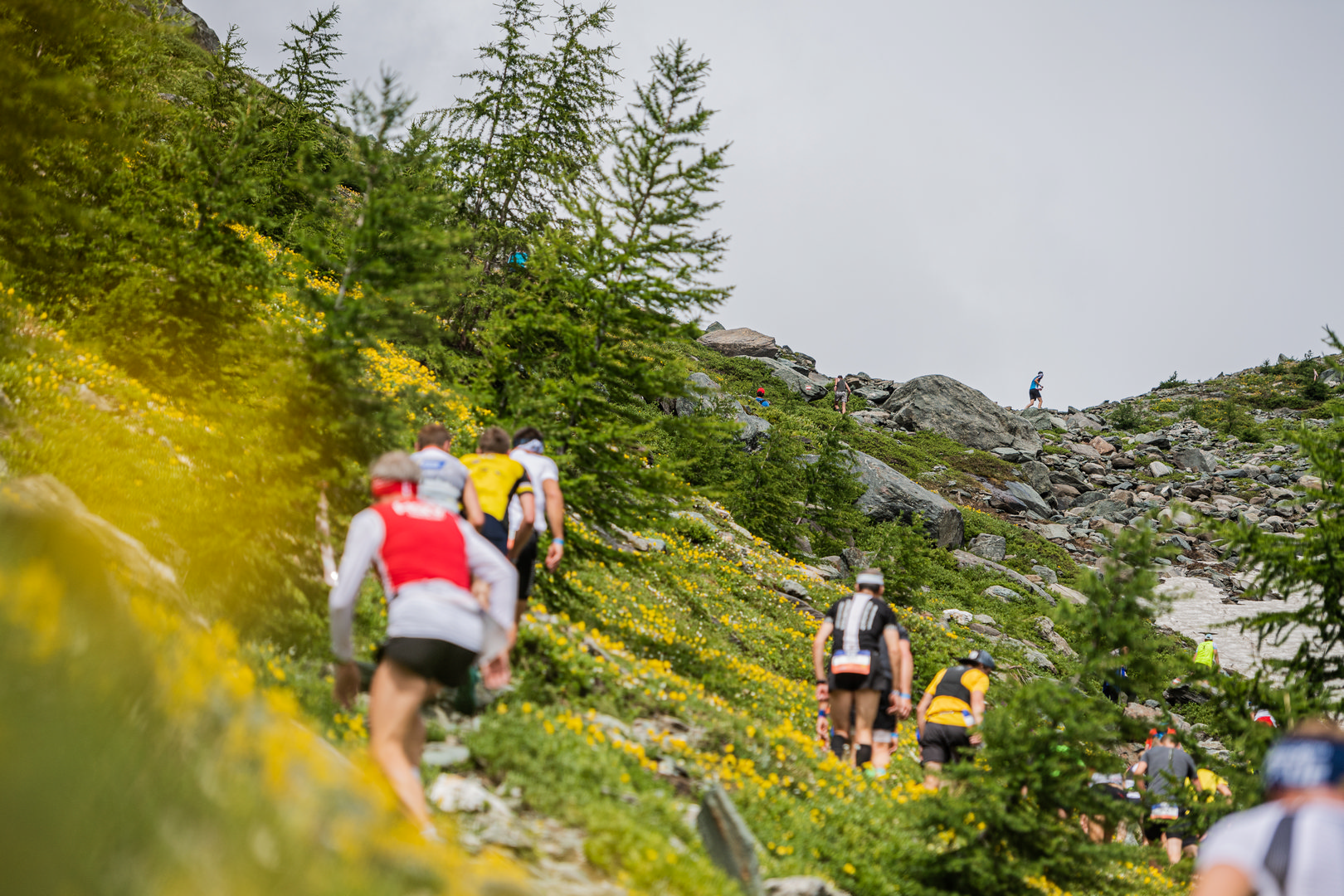
The trail of the Grossglockner Mountain Run leads through all alpine vegetation levels – from the typical cultivated landscape up to the high alpine glacier region in the Hohe Tauern National Park. After the start, participants run through the village until they reach the valley head of Heiligenblut. There the route leads along forest paths to the Sattelalm and on to the Briccius Chapel.
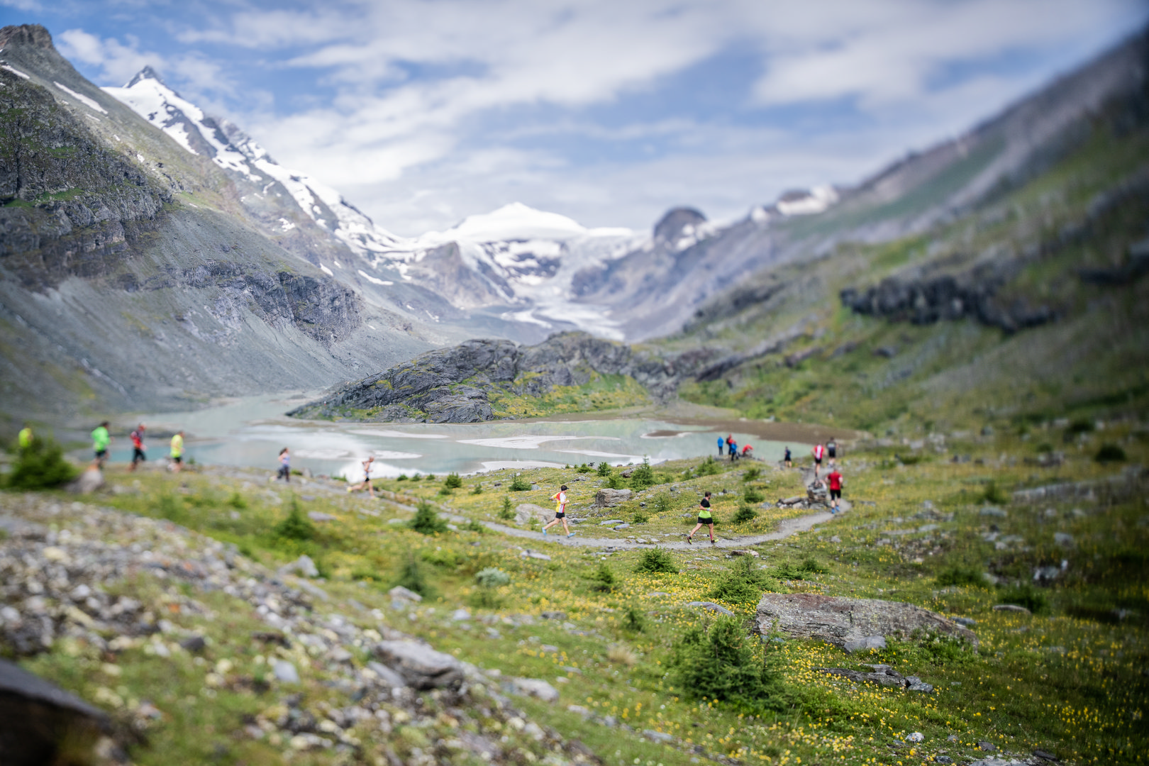
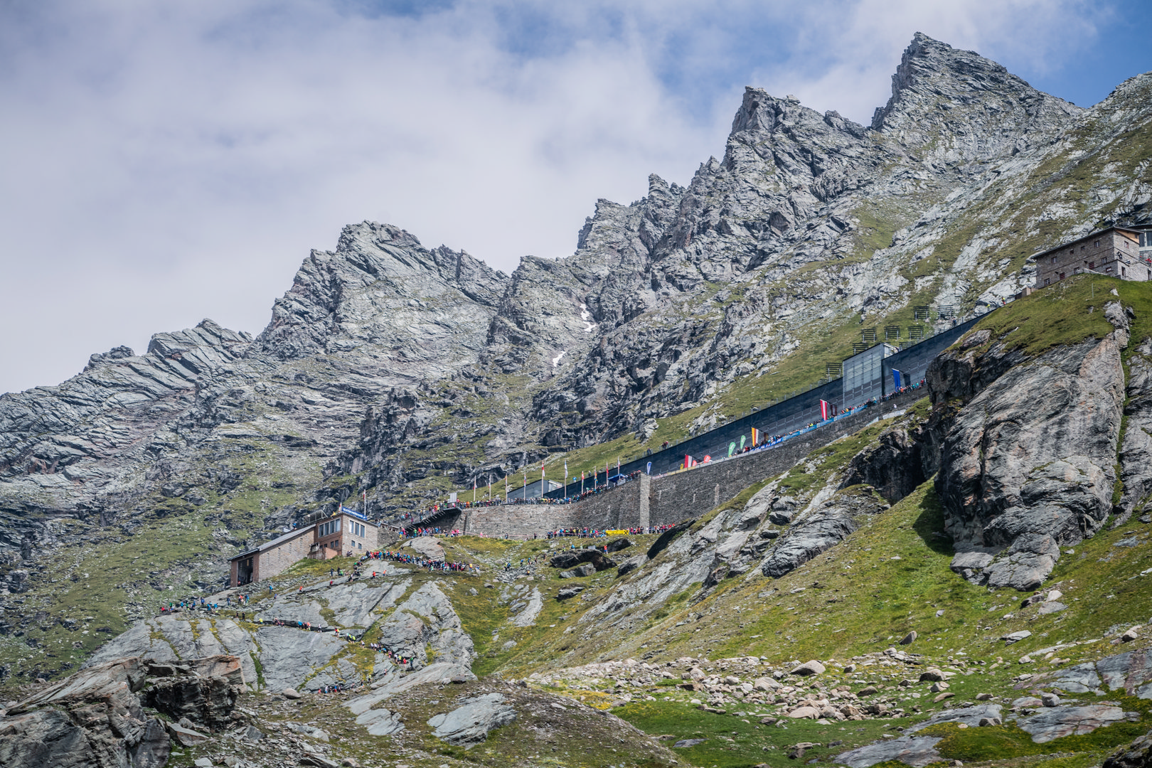
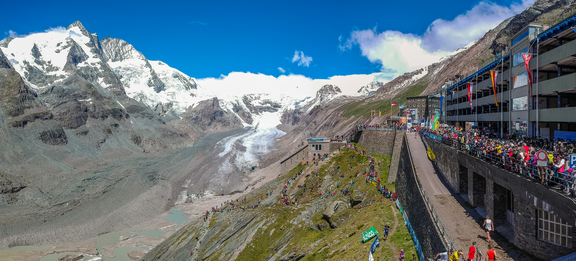
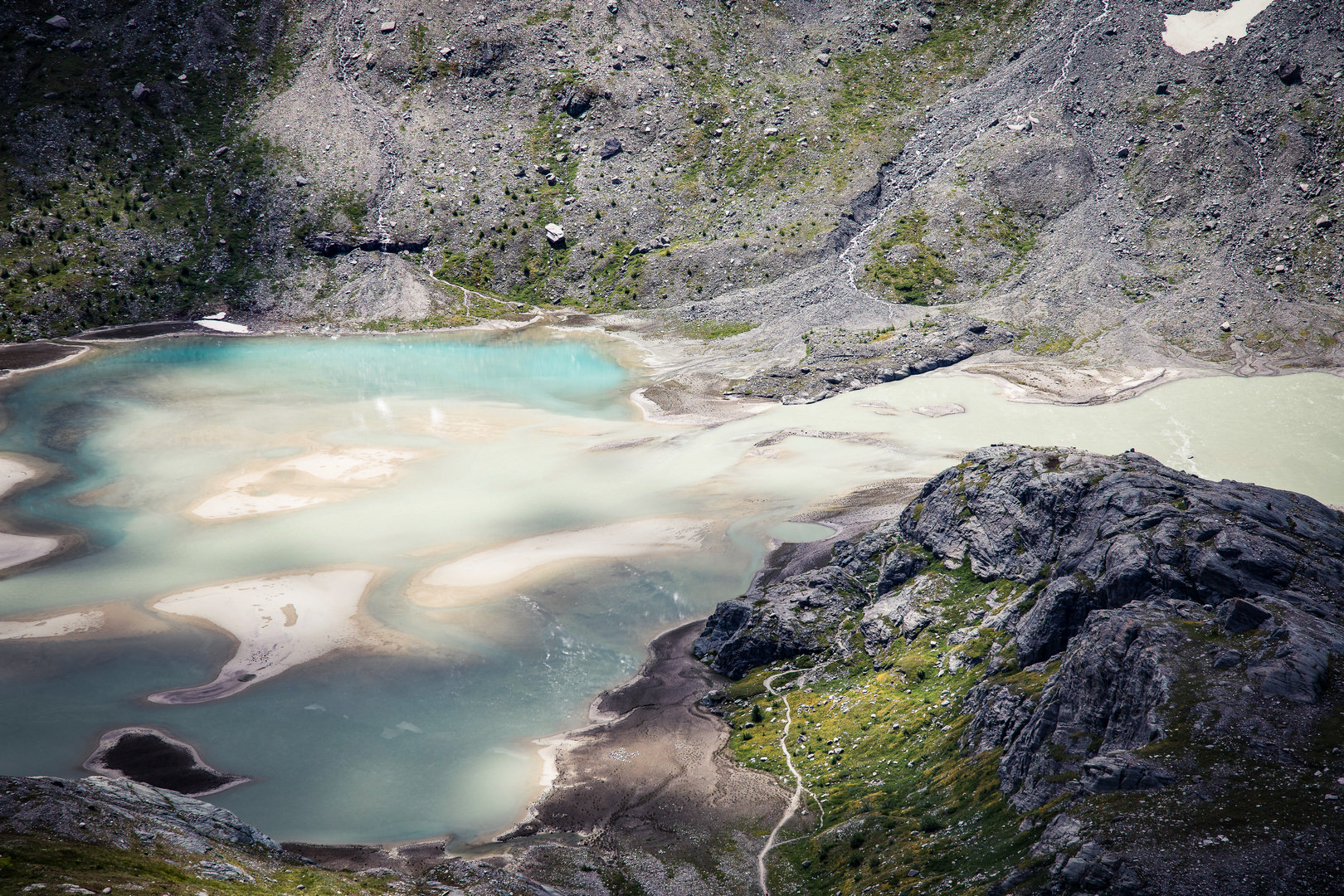
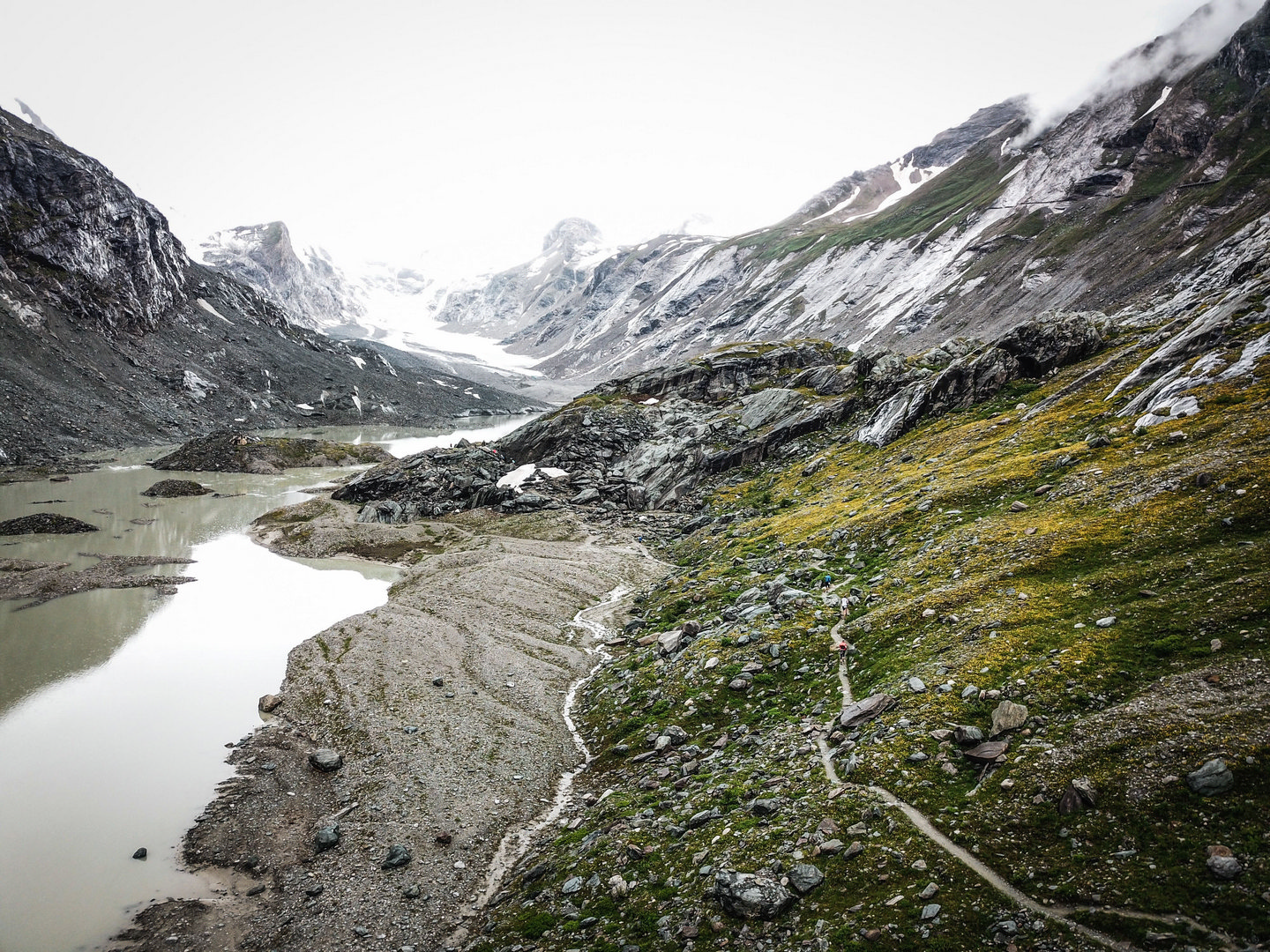
After crossing the Möll, follow the hiking trail to the Trogalm and pass the Leiter waterfall. After a long flat stretch, the trail climbs to the Margaritzen dam. Before you can take a look at the entire Pasterze, the longest glacier in the Eastern Alps, you run around the Elisabethfelsen. From here, you can already hear the fans and the music from the finish line on the Kaiser-Franz-Josefs-Höhe.This motivates you enormously to conquer the last 521 steps.
In total, 13.367km and 1,265 metres of altitude difference are covered. In 2023, the Großglockner Mountain Run is also limited and, as expected, will be sold out again, as in previous years.